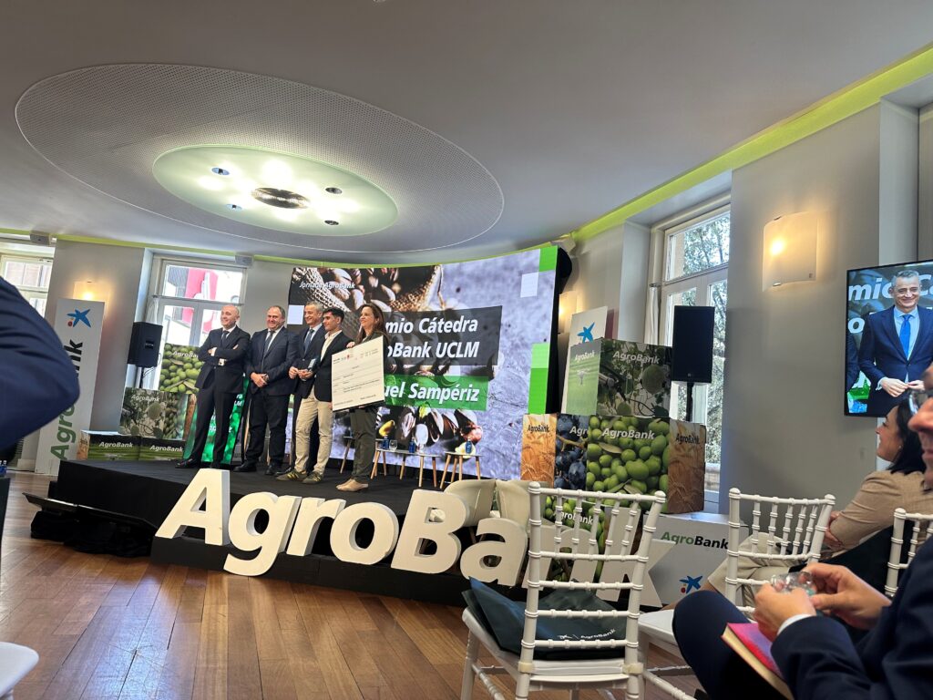
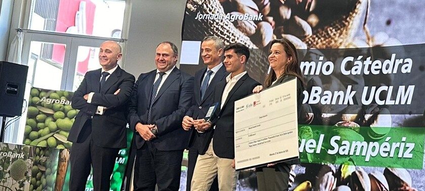
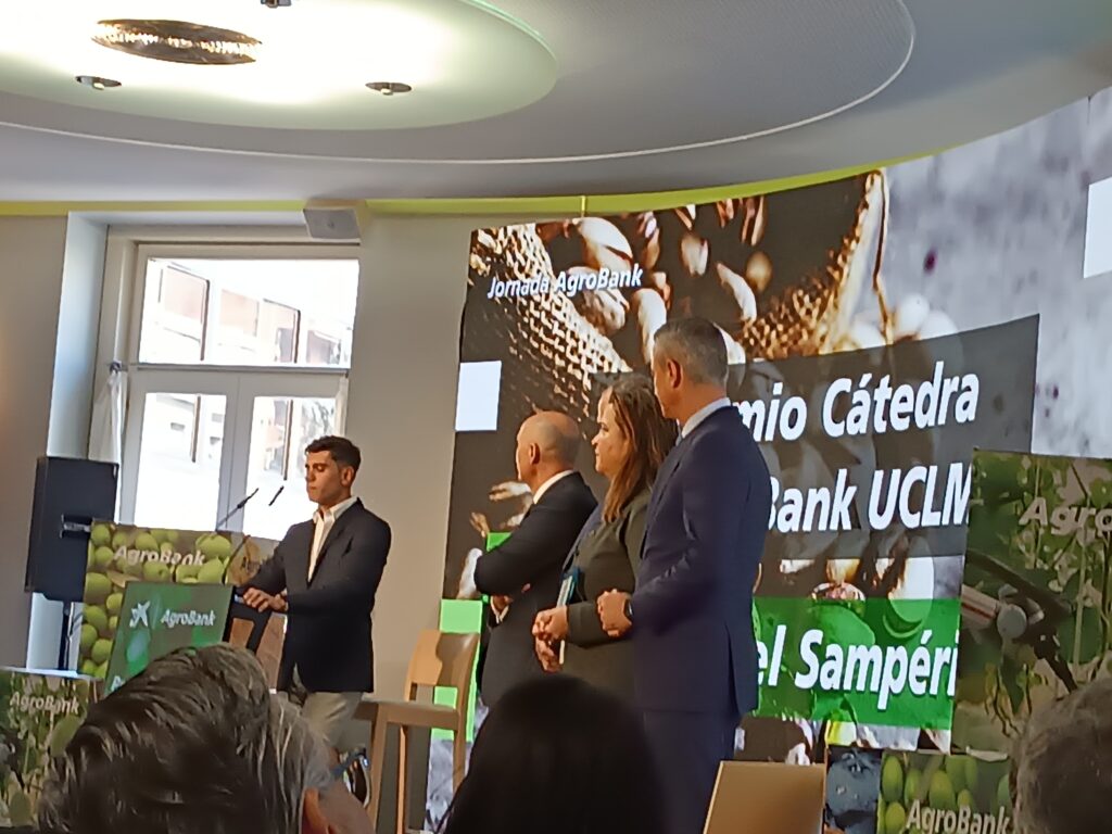
Manuel Sampériz Sarvisé, predoctoral researcher of the RAMA group, received on February 28, 2025 in Albacete the Award for the best Master’s Thesis (TFM) from the AgroBank Chair “Women, business and rural world” of the University of Castilla La Mancha. The title of his TFM is: “Characterization of the variability of soils at the basin and plot level”. The call was open to anyone who had defended their TFM at a Spanish University during the 2023-24 academic year and who had obtained a minimum grade of 9 out of 10. The award is endowed with 3000 euros. Congratulations, Manuel!
You can find the TFM document (in Spanish) at:
https://zaguan.unizar.es/record/145861?ln=es
And this is the summary of the TFM:
The variability in crop development is intrinsically linked to the crop, its management and the agro-environmental environment in which it is developed. At the plot level, and under the premise of homogeneous management, this variability is directly related to the edaphic differences and the specific hydrological behavior of each part of the plot.
In order to address this variability, an analysis of the satellite spectral bands (NDVI, radar) was carried out, together with the digital terrain model and the parcel map. The primary objective was to identify aspects of the relief, use or management that influenced these properties, thus allowing representative sampling points to be located. After the description of the soil profiles, homogeneous soil units are delimited and characterized at the basin level. The variability of these units at the plot level was analyzed with the development of the crops in each plot, through their NDVI and by relating them to the soil units, the type of crop (summer/winter) and the moment of crop development (growth, maturity and beginning of senescence).
The study was carried out in the municipalities of Montesusín and Robres, which present significant differences in terms of their agricultural management. While Montesusín has experienced land consolidation and irrigation modernization with the change to sprinkler irrigation, in Robres small and terraced plots with surface irrigation predominate. These disparities affected the interpretation of the remote sensing information, since the size and slope of the plots have a notable impact on their internal variability.
The use of the multiband map, through the combination of elevation and slope, allowed the delimitation and definition of seven homogeneous soil units among which a high correlation with crop development was found. These differences were studied in greater detail within the same plot to limit the effect of management, and the standard deviation of the NDVI was evaluated as an indicator of crop variability, obtaining significant differences in the homogeneity of the units and in the development of the crops, being greater on the platforms and less on the slopes.
It is concluded that the integration of information obtained from remote sensors together with field and crop data is a powerful tool to characterize and manage soil variability and hydrological behavior at both the basin and plot level, facilitating the development of soil maps and the application of predictive models that allow a better understanding of soil variability and an optimization in crop management and reduction of environmental pollution by adapting agricultural practices to the specific characteristics of each soil unit, in addition to implementing zoning not only at the plot level to be able to evaluate the evolution of return flows at a higher surface level.