

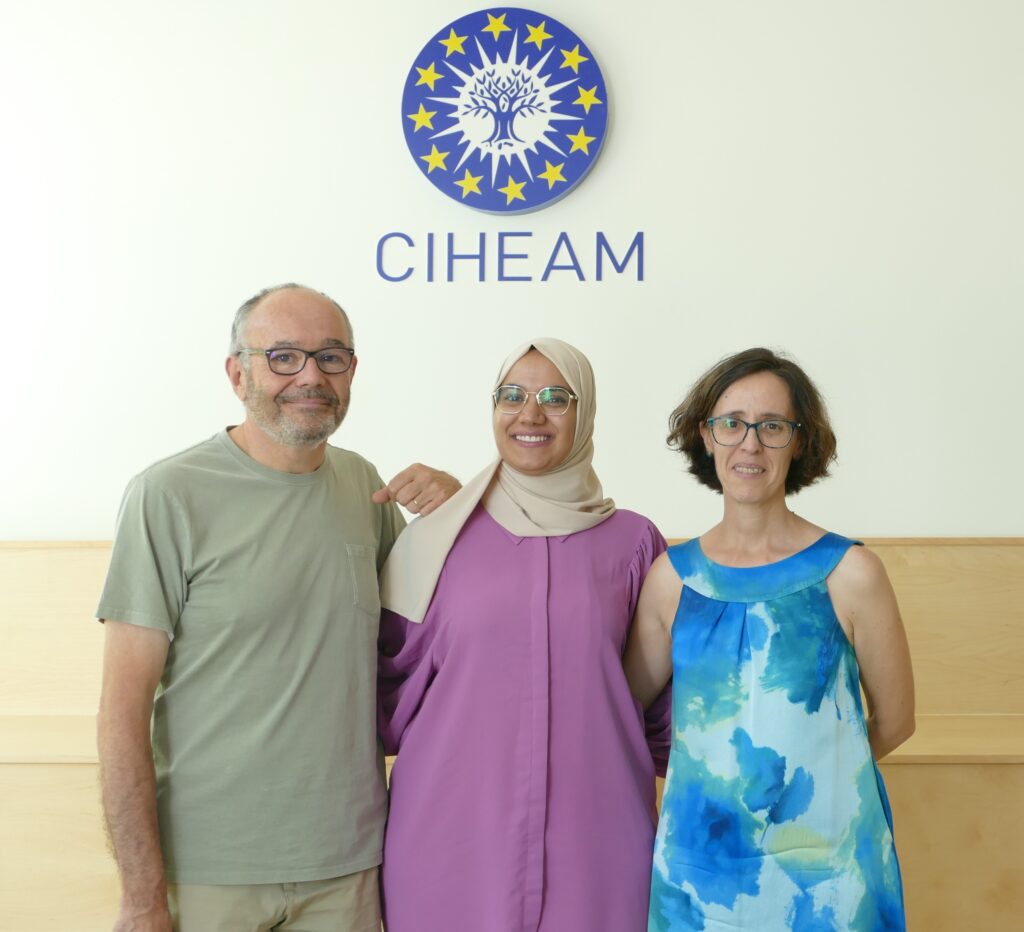
In the last few days, four students from the “Sustainable Water Management and Governance in Natural and Agricultural Environments” MSc programme of the Centre for Advanced Mediterranean Agronomic Studies (CIHEAM) in Zaragoza have defended their thesis. The students have spent ten months at the Aula Dei Experimental Station and CITA – Aragón, with a scholarship from CIHEAM Zaragoza. The topics of these theses have been quite varied:
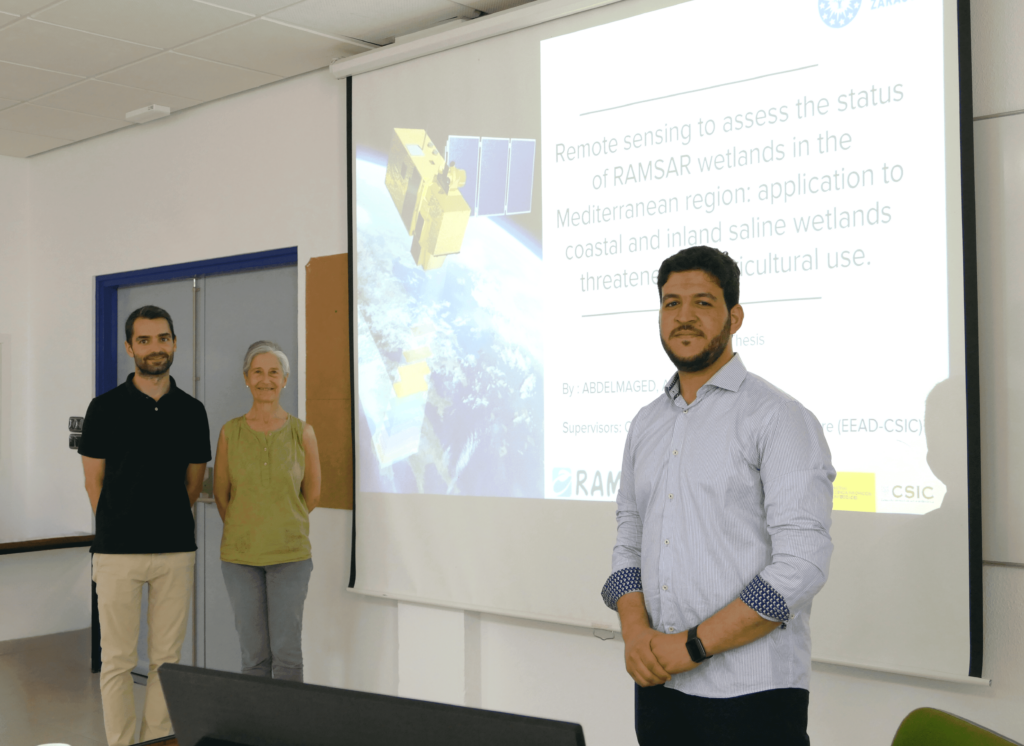
- Abdelmaged ABDELRAZEK: “Remote sensing for the analysis of RAMSAR Mediterranean wetlands: application to saline coastal and interior wetlands threatened by agriculture”, directed by Carmen Castañeda and Borja Latorre.
- Abir NEJI: “Variability of water distribution in solid-set sprinkler irrigation: Experimental determinations and numerical simulations”. Directed by Nery Zapata and Enrique Playán.
- Ayoub EL MOKHTARI: “The effect of sprinkler irrigation moment on the net ecosystem CO2 exchange, evapotranspiration and production of maize crop”, directed by Ana López Ballesteros (CITA) and José Cavero Campo.
- Wala SASSI: “Carbon sequestration capacity assessment in different types of irrigation systems and different agricultural management practices”, directed by Samuel Franco and Jorge Álvaro-Fuentes.
A description of each thesis follows:
Abdelmaged Abdelrazek: Remote sensing to analyze wetlands
Abdelmaged defended his tesis: “Remote sensing for the analysis of RAMSAR Mediterranean wetlands: application to saline coastal and interior wetlands threatened by agriculture”. The thesis was directed by Carmen Castañeda and Borja Latorre.
The thesis, its context and implications
In the Mediterranean region, inland lakes and lagoons play a fundamental role from the geo-biodiversity and economic points of view. However, they face increasing pollution, mainly derived from agricultural practices and intensive activities in their catchment areas. The thesis focuses on the use of remote sensing techniques to assess and obtain key water quality parameters, such as chlorophyll-a (Chl-a) concentration and suspended solids (TSS).
The study used multispectral images acquired by drones over three semi-arid protected lagoons (Chiprana, Gallocanta and Sariñena) located in the Ebro basin (NE Spain), simultaneously with water sampling by drone. In turn, Sentinel-2 satellite images over these lagoons and over Lake Ichkeul (Tunisia) were evaluated, applying different atmospheric correction algorithms. By integrating water quality laboratory data with reflectance data from both sensors, regression equations were developed to estimate the concentration of Chl-a and TSS.
The study highlights the high concentrations of Chl-a and TSS and demonstrates the need to develop better management practices to protect water quality in the Mediterranean region, as well as the usefulness of multispectral images taken simultaneously with water sampling to characterise key parameters defined by the European Union Water Framework Directive.
The thesis abstract
Inland lakes in the Mediterranean region hold significant environmental and economic importance, yet they are exposed to pollution mainly due to unsustainable agricultural practices. This study aims to use remote sensing techniques to estimate and retrieve water quality parameters, focusing on the concentration of chlorophyll-a (Chl-a) and total suspended solids (TSS). Three lakes within the semiarid Ebro Basin, NE Spain, and one lake in Tunisia were sampled and simultaneous multispectral images were acquired with drone over the Spanish lakes. The MicaSense RedEdge and Sentinel-2 images were assessed, with Sentinel-2 data undergoing atmospheric correction using C2RCC, C2X, and ACOLITE algorithms. Laboratory water quality data was integrated with reflectance data from both sensors using a simple linear regression equation. The results showed that the best estimate for Chl-a concentration using MicaSense was through the band ratio (B7/B6) with an R² of 0.45, while the best estimate using Sentinel-2 corrected by C2X algorithm was through the band ratio (B5/B4), achieving an R² of 0.82. Additionally, an automatic model provided by ACOLITE (chl_re_moses3b740) offered estimates for retrieving Chl-a, with an R² of 0.87 and RMSE of 22.56. For TSS concentration, the best estimate using MicaSense was through the band ratio (B6/B4) with an R² of 0.43, and using Sentinel-2 through the band ratio (B4/B3) with an R² of 0.76, corrected by C2RCC algorithm.
Abir Neji: A drone to estimate solid-set sprinkler irrigation
Abir defended her thesis titled: “Variability of water distribution in solid-set sprinkler irrigation: Experimental determinations and numerical simulations”. The thesis was directed by Nery Zapata and Enrique Playán.
The thesis, its context and implications
In this thesis, a solid-set sprinkler irrigation plot was equipped with soil temperature and soil water sensors. In addition, drone flights were carried out using RGB (in the visible spectrum) and thermal cameras. Ballistic irrigation simulation models were also used. The objective was to reproduce the water distribution resulting from irrigation, which we usually measure by installing a network of rain gauges on the ground of the plot. The use of information from remote sensors and models can be very practical to determine irrigation uniformity in entire farms, where thousands of pluviometers would be necessary.
Abir’s thesis has assessed the information produced by each of the sensors and models. Among the local sensors (soil temperature and humidity with TDR), the Ador-Solid-Set model and the RGB and thermal images, the drone images stood out for having a very good correlation with the water collected in the rain gauges and for not requiring installation on the plot. At the moment, one drawback of drone imagery is its cost, although it is foreseeable that this will decrease substantially in the near future.
The procedure proposed in the thesis is to capture the variability in water application within a plot using a few rain gauges with a strong gradient of water collected, combining locations near the sector sprinklers (at the edge of the plot) and in circular sprinklers (inside the plot). These rain gauges are used to obtain a local correlation between the luminance measured with the Drone and the water collected. Irrigation water application is then estimated from the luminance measured by the Drone and from these estimates of water collected the irrigation uniformity is determined.
The thesis abstract
Irrigation is the largest user of water globally, and is expected to remain the largest consumer of water in the world in the coming decades. Application efficiency and distribution uniformity are the main indices that characterize the quality of irrigation. This work presents a field experiment in which sprinkler irrigation uniformity has been characterized using experimental methods (pluviometers), soil water measurement equipment (TDR), simulation models on sprinkler irrigation in the entire plot (Ador-Solid-Set), local or remote thermography and visible images. An experimental plot of 0.49 ha was used. It was located at the experimental farm of the Aula Dei Experimental Station and it was equipped with sprinklers in a square arrangement separated 18 m. The irrigation system included three types of spacings differentiated by the type of sprinklers composing them (full circle sprinklers, 180º sectorial and 90º sectorial sprinklers). Thus, the different spacings were: type 4CC (four full circle sprinklers), type 2SS (two full circle sprinklers and two 180º sectorial sprinklers) and type 3SS (one full circle sprinkler, two 180º sectorial sprinklers). and a 90º sector sprinkler). Six irrigation events of different duration were evaluated: three irrigations lasting 1 hour and three others lasting 2, 3 and 3.5 hours. In all of them, the variability of water distribution was measured with pluviometers, and the variability of soil temperature was assessed with local sensors installed at 5 cm depth. In three of these tests, thermal variability and light intensity were measured with remote sensors on a drone. On the other hand, in the 3SS type framework, the variability of soil water content was measured with TDR probes. The 3SS type spacing, combining three types of sprinklers, resulted in the worst irrigation quality indices in any weather condition, while the spacing with four circular sprinklers, 4CC, provided the best quality indices. The effect of the wind was notable in the uniformity and in the wind drift and evaporation losses of all spacings. The use of local soil temperature sensors to infer variability in the distribution of irrigation water was analyzed through regression models based on indices, such as the coefficient of determination, R2, and the root mean square error, RMSE. To do this, the relationships between soil temperature and rainfall throughout and after irrigation were analyzed. In short irrigations, lasting 1 hour, it was in the drying process (16-24 hours after finishing irrigation) when the best correlation indices were found. However, for irrigations lasting 2 or more hours, better relationships were found between the temperature variation (difference between temperature after and just before irrigation) and rainfall and this relationship reached its highest value after two hours following the start of irrigation. The drone images in the thermal and visible spectrum explained the irrigation variability with high coefficients of determination, up to 0.90 in the thermal and 0.85 in the visible. The best coefficients were obtained between 3-4 and 6-7 hours after irrigation for the visible and thermal, respectively. These values were always higher in the thermal than in the visible. The models based on luminance were very similar between irrigations, while those based on thermal data being specific for each irrigation. When estimating rainfall, the drone images were always more effective than local temperature sensors, due to the larger surface area integrated by the remote sensors. On the other hand, the results of the TDR probes showed the best correlation with the rainfall. The Ador-Solid-Set simulation model managed to characterize the rainfall variability of irrigation with average determination coefficients of 0.77. Predictive rainfall models based on luminance and remote temperature did not work when applied to a larger, commercial plot, indicating the need to develop specific models for each irrigation. The proposed predictive models represent a great advance in the characterization of irrigation uniformity in solid-set sprinkler irrigation plots, and can be obtained with a few pluviometers and low-cost drone images.
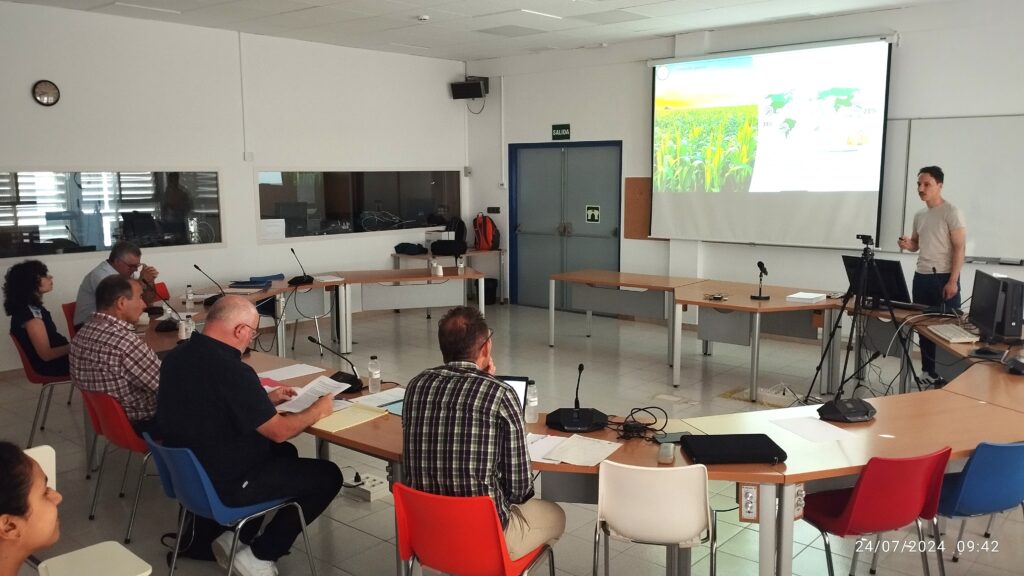
Ayoub El Mokhtari: Seeking the best moment for sprinkler irrigation
Ayoub defended his thesis titled: “The effect of sprinkler irrigation moment on the net ecosystem CO2 exchange, evapotranspiration and production of maize crop”. The thesis was directed by Ana López Ballesteros (CITA) and José Cavero.
The thesis, its context and implications
Farmers in the Ebro Valley know that sprinkler irrigation should be used as much as possible during the night time. The primary reason is that local conditions are less windy and cooler than during daytime. Therefore, irrigating at night minimizes water losses through wind drift and evaporation, and maximizes irrigation uniformity. However, research results have been obtained for years indicating that the benefits of nighttime sprinkler irrigation go beyond the conservation of irrigation water.
Ayoub’s work focused on corn cultivation, in which variables such as ecosystem CO2 exchange, evapotranspiration, and other microclimatic variables were measured. When daytime and nighttime irrigation treatments were compared at a seasonal level, it was seen that nighttime irrigation absorbed more CO2, evapotranspirated less water than daytime irrigation, and had greater water use efficiency than daytime irrigation. This research leads to the proposal of irrigation designs in plots and in collective networks that allow irrigation to be applied in less time, so that even at the peak of the irrigation season, irrigation can be carried out almost exclusively at night.
The thesis abstract
As global agricultural demands rise amidst resource constraints, optimizing irrigation practices is crucial for enhancing crop productivity and resource use efficiency. This study investigates the impact of daytime and nighttime sprinkler irrigation on maize (Zea mays L.) growth, productivity, and resource use efficiency. By using eddy covariance technique, we measured net ecosystem CO2 exchange (NEE), evapotranspiration (ET), and microclimate variables from June to September 2018 in Zaragoza, Spain. Daytime irrigation significantly altered the microclimate during the irrigation events and some hours later, reducing air and soil temperatures, and vapor pressure deficit (VPD), increased evapotranspiration (ET) and net CO₂ uptake. However, over the entire growing season, nighttime irrigation resulted in lower cumulative ET and higher net CO₂ uptake (658.87 ± 87.86 mm and -329.05 ± 5.66 g C m-2, respectively) compared to daytime irrigation (889.55 ± 107.66 mm and -215.50 ± 6.93 g C m-2). Analysis of gross primary productivity (GPP) and ecosystem respiration (Reco) revealed that nighttime irrigation led to lower fluxes of both processes. Water use efficiency (WUE) was higher under nighttime irrigation (74 kg DM ha‑1 mm-1) compared to daytime irrigation (66 kg DM ha-1 mm-1), while radiation use efficiency (RUE) was slightly lower in nighttime irrigation. Our findings suggest that nighttime sprinkler irrigation in maize can enhance water use efficiency and net carbon uptake. These results have implications for irrigation management strategies in semi-arid regions, potentially contributing to more sustainable agricultural practices. However, further research is needed to determine the joint effect of climate variability and sprinkler irrigation moment across several crop seasons and under several climate conditions.
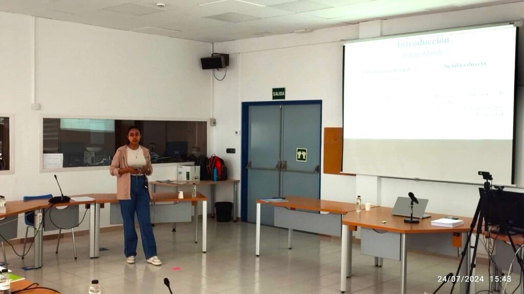
Wala Sassi: Assessing carbon sequestration in Mediterranean field crops
Wala defended her thesis titled: “Carbon sequestration capacity assessment in different types of irrigation systems and different agricultural management practices”. The thesis was directed by Samuel Franco and Jorge Álvaro-Fuentes.
The thesis, its context and implications
Tackling the challenges of mitigating climate change and maintaining soil health require contributions from many sectors. Agriculture can contribute by sequestering carbon, but this requires sustainable soil management and efficient irrigation. The thesis involved experiments with different tillage and crop residue management methods, as well as surface and sprinkler irrigation. These experiments are highly relevant at a time when agriculture is evolving towards new soil management models, and irrigation modernization policies have made thousands of hectares of sprinkler irrigation available to farmers for the production of field crops. The thesis analyzes the interactions between irrigation and agronomy, aiming at developing combined practices contributing to the sustainability of agriculture.
The thesis abstract
Sustainable soil management and efficient irrigation practices are crucial for maintaining soil health and enhancing carbon sequestration in agricultural systems, particularly in water-scarce environments. This study investigated the effects of different soil management strategies and irrigation types on an array of soil quality indicators in a semi- arid Mediterranean agroecosystem. Three soil management practices – conventional tillage maintaining stover (CTr), no-tillage removing stover (NT), and no-tillage maintaining stover (NTr) – were evaluated under sprinkler irrigation across four soil layers (0-5, 5-10, 10-25, and 25-50 cm). Additionally, the effects of flood and sprinkler irrigation systems on soil indicators were compared under CTr across the same soil layers. A comprehensive suite of physical (bulk density, water-stable macroaggregates, infiltration rates), chemical (soil organic carbon, organic carbon fractions), and biological (microbial biomass, enzymatic activities) indicators were assessed. Results revealed that NTr promoted higher water-stable macroaggregates, soil organic carbon, particulate organic carbon, permanganate oxidizable carbon, and β-glucosidase activity in the topsoil (0-5 cm), enhancing soil structure and carbon sequestration. Conversely, CTr exhibited higher mineral-associated organic carbon, microbial biomass, dehydrogenase, and β- glucosaminidase activities in the layers 5-10 and 10-25 cm. Flood irrigation facilitated the translocation of organic carbon compounds deeper into the soil profile compared to sprinkler irrigation, particularly in the 25-50 cm layer. These findings highlight the complex interactions between soil management practices, irrigation systems, and soil depth on various aspects of soil health and carbon dynamics. The study underscores the potential benefits of combining no-tillage with stover retention and strategic irrigation management for improving soil quality and enhancing carbon sequestration in semi-arid Mediterranean agricultural systems.