Multisensory remote sensing for consistent early identification of crops in irrigated areas of Aragon
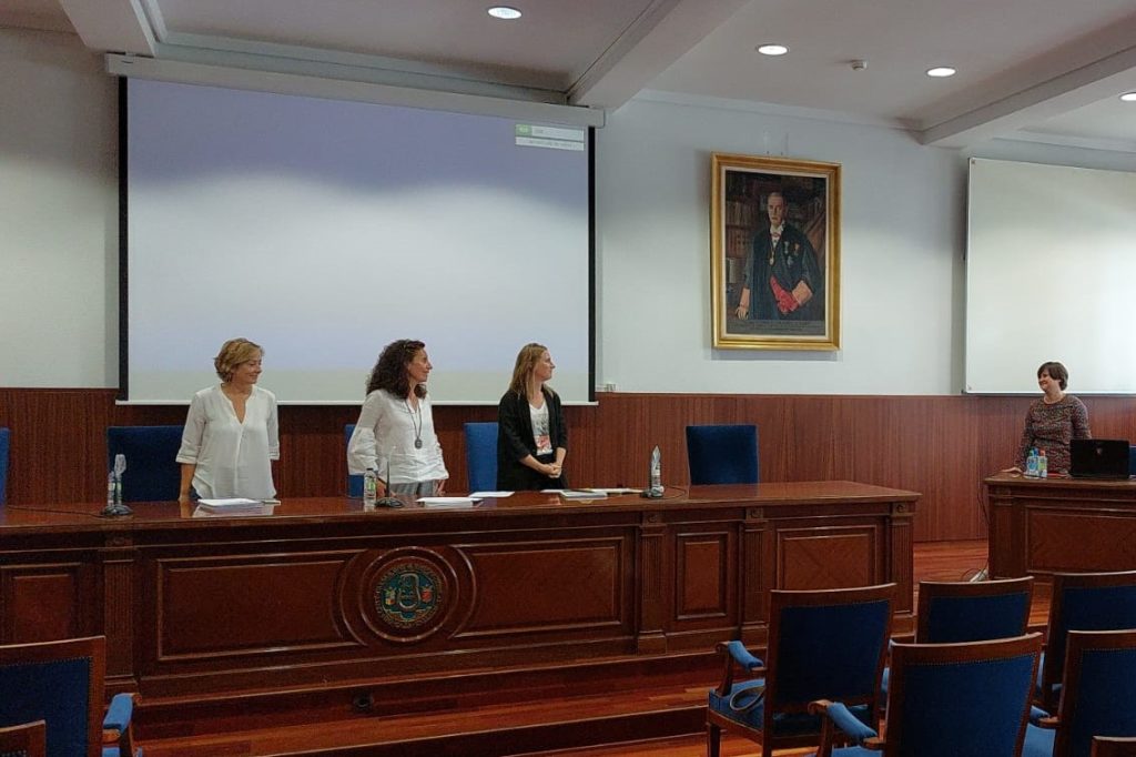
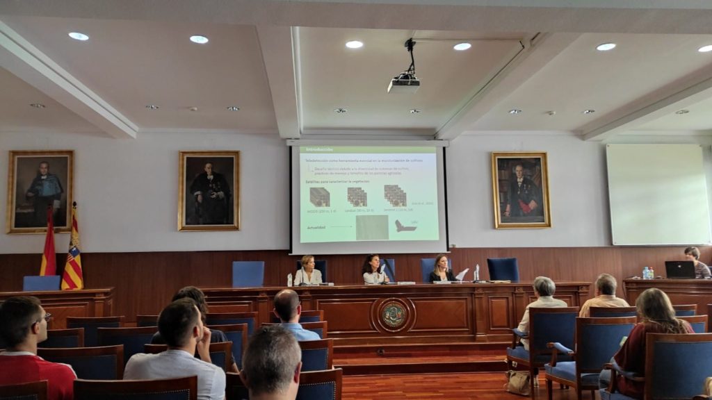
Estela Pérez Cardiel has presented her doctoral thesis, co-supervised by Juan de la Riva from the Department of Geography and Territorial Planning of the University of Zaragoza and Mª Auxiliadora Casterad, researcher at the Center for Research and Agrifood Technology of Aragón (CITA) and member of the RAMA Group.
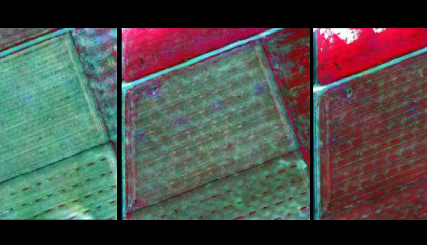
The thesis uses satellite information from Sentinel 2, aerial images with UAV, field spectro-radiometry and a digital camera for the early identification of crops in the irrigated areas of central Ebro Valley in Aragón. The research addresses two relevant issues: 1) the analysis of data consistency from the Sequoia and MSI sensors of Sentinel 2 by comparing them with data obtained using spectro-radiometry; and 2) the exploration of suitable methodologies for the early detection of crop presence considering local and regional scales, analyzing the combination of sensors and using statistical modeling techniques.
Results indicate that the beginning of the crop development stage can be determined using a methodology based on the Pettitt Test, a change point detection technique, although the data scarcity at the beginning of this stage can advance the determination in time. In addition, the feasibility of integrating data from satellite sensors ─ MSI of Sentinel 2─ and drones ─ Sequoia─ into the time series, is effective in determining the beginning of the crop development stage and in providing additional data in this critical period. The proposed methodology has been applied to 2018 and 2019 for determining the spatial distribution of second-crop maize and sunflower in the irrigated areas of the Ebro Valley in Aragón.
With this thesis, progress has been made in the early estimation of the beginning of the crop development stage through series of remote sensing images, both at plot scale and for large areas, constituting an aid for the verification of Greening practices, associated with CAP crop monitoring.


